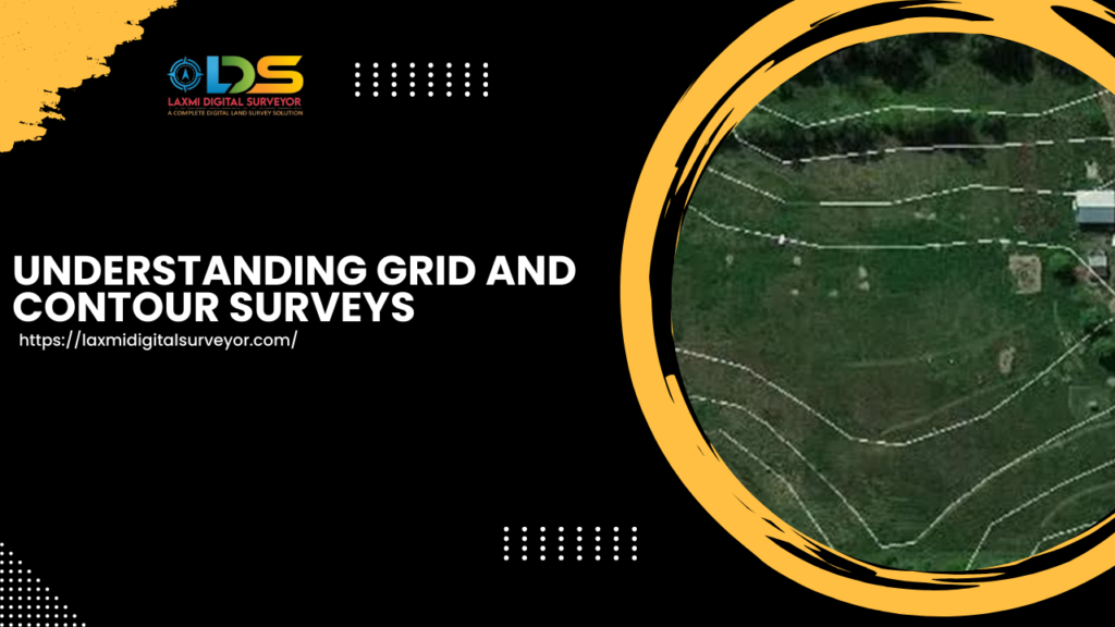
Understanding Grid and Contour Surveys: A Comprehensive Guide
Grid and Contour Survey in Hyderabad
Welcome to the blog of Laxmi Digital Surveyor, where we delve into the intricacies of grid and contour surveys.
At Laxmi Digital Surveyor, we specialize in providing precise and efficient surveying services, leveraging advanced tools like total stations and DGPS to meet varied site conditions.
Our aim is to ensure accuracy and reliability in every project we undertake.
The Importance of Grid and Contour Survey in Hyderabad
Grid and contour surveys are essential for mapping the topography of a site. They help in understanding the variations in elevation and layout, crucial for planning construction projects, landscaping, and other land development activities.
These surveys provide a detailed view of the land’s surface, allowing engineers and planners to make informed decisions.
Our Surveying Process For Grid and Contour Survey in Hyderabad
Grid and Contour Survey in Hyderabad
Our surveying process is meticulous and methodical, ensuring every detail is captured accurately.
Step 1: Setting Up the Instrument
The first step involves setting up the surveying instrument. Depending on the site conditions, we use either a total station or a Differential Global Positioning System (DGPS).
The total station is ideal for sites with clear lines of sight and requires precise angle and distance measurements. DGPS, on the other hand, is used for larger or more complex terrains where satellite-based positioning is advantageous.
Step 2: Conducting the Boundary Survey
Once the instrument is set up, we begin with the boundary survey of the site. This involves marking the perimeter and capturing the coordinates of the boundary points.
Accurate boundary data is crucial as it forms the basis for all subsequent survey activities.
Step 3: Data Collection Inside the Site
After establishing the boundaries, we proceed to collect data within the site. This involves creating a grid over the area and recording elevation points at regular intervals.
The density of the grid points depends on the required level of detail. The more points we collect, the more accurate the contour map will be.
Step 4: Exporting Data to AutoCAD
Once the field data collection is complete, we export the data to AutoCAD. AutoCAD allows us to visualize the survey data and make any necessary adjustments before creating the final maps. It is a crucial step where raw data is transformed into a readable format.
Step 5: Creating Grid and Contour Maps in Civil 3D
The final step involves using Civil 3D software to create detailed grid and contour maps. Civil 3D is specifically designed for civil engineering design and documentation, making it the perfect tool for this task.
The software allows us to generate accurate contour lines that represent the elevation changes across the site. These maps are then used for various planning and development purposes.
Why Choose Laxmi Digital Surveyor?
At Laxmi Digital Surveyor, led by our CEO Rajesh Nedunoori, we pride ourselves on delivering high-quality surveying services.
Our team is skilled in using the latest technology to ensure precise results. Whether you need a detailed topographic map or an accurate boundary survey, we have the expertise and tools to meet your needs.
For more information or to schedule a survey, please contact us at:
- Phone: 8121963611 or 8014380111
- Website: Laxmi Digital Surveyor
Thank you for choosing Laxmi Digital Surveyor, where precision meets excellence.
