Introduction to Topographical Surveying in Hyderabad
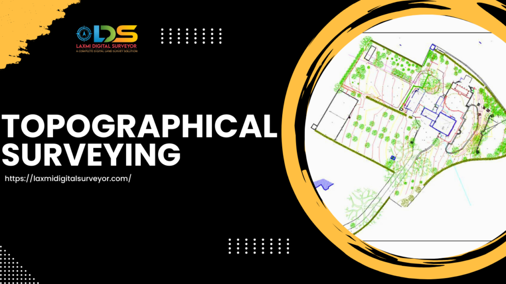
Topographical Surveying in Hyderabad is the process of mapping the terrain of a particular area, capturing both natural and man-made features.
It involves gathering data on elevation, contours, and other relevant details to create detailed maps and models.
Importance of Topographical Surveying in Hyderabad For Urban Development
Topographical surveys play a crucial role in urban development by providing essential data for planning and decision-making.
They help urban planners, architects, and engineers understand the landscape of an area, identify suitable locations for development, and design infrastructure projects effectively.
Traditional vs. Modern Surveying Techniques For Topographical Surveying in Hyderabad
Traditional surveying methods involved manual measurements using tools like total stations and levels.
However, modern surveying techniques, such as LiDAR (Light Detection and Ranging) and GPS (Global Positioning System), have revolutionized the field, allowing for faster and more accurate data collection.
Topographical Surveying in Hyderabad: Overview
Hyderabad, a rapidly growing urban center, relies heavily on topographical surveys for its development projects.
These surveys provide critical information for infrastructure development, urban planning, and environmental assessment initiatives in the city.
Applications of Topographical Surveys in Hyderabad
Topographical surveys find applications in various sectors in Hyderabad, including:
- Urban Planning and Development: Facilitating informed decision-making in city planning projects.
- Infrastructure Development: Providing data for the design and construction of roads, bridges, and utilities.
- Environmental Assessment: Evaluating the impact of development projects on the environment and natural resources.
- Land Management: Supporting land use planning and property boundary delineation.
Challenges Faced in Topographical Surveying in Hyderabad
Despite their importance, topographical surveys in Hyderabad face several challenges, including rapid urbanization, limited access to remote areas, and regulatory constraints.
Overcoming these challenges requires innovative approaches and collaborative efforts among stakeholders.
Role of Topographical Surveys in Sustainable Development
Topographical surveys play a vital role in promoting sustainable development practices in Hyderabad.
By providing accurate data and insights, these surveys enable decision-makers to balance economic growth with environmental conservation and social equity.
Future Trends in Topographical Surveying in Hyderabad
The future of topographical surveying in Hyderabad is marked by advancements in technology, such as AI-driven data analysis, drone mapping, and augmented reality visualization.
Embracing these trends will enhance the efficiency, accuracy, and sustainability of surveying practices in the city.
Conclusion for Topographical Surveying in Hyderabad
In conclusion, topographical surveying is a crucial tool for navigating urban development in Hyderabad.
By providing accurate and detailed information about the city’s terrain, topographical surveys empower decision-makers to plan and execute development projects effectively, ensuring a sustainable and prosperous future for the city.
FAQs
1.How long does a topographical survey take to complete in Hyderabad?
The duration of a topographical survey depends on various factors, including the size and complexity of the area being surveyed. Small-scale surveys may take a few days to complete, while larger projects can extend over several weeks or months.
2.What are the key components of a topographical survey report?
A topographical survey report typically includes detailed maps, elevation data, contour lines, and other relevant information about the terrain and features of the surveyed area.
3.Can topographical surveys be used for environmental conservation purposes in Hyderabad?
Yes, topographical surveys play a crucial role in environmental assessment and conservation efforts in Hyderabad. They help identify ecologically sensitive areas, assess environmental impact, and inform decision-making to mitigate adverse effects.
4.How accurate are modern surveying technologies like LiDAR and GPS?
Modern surveying technologies like LiDAR and GPS offer high levels of accuracy, with precision ranging from centimeters to millimeters, depending on the equipment and surveying conditions.
5.Are topographical surveys only used for urban development projects in Hyderabad?
While topographical surveys are commonly used in urban development projects, they also find applications in various other sectors, including agriculture, mining, and infrastructure management.
