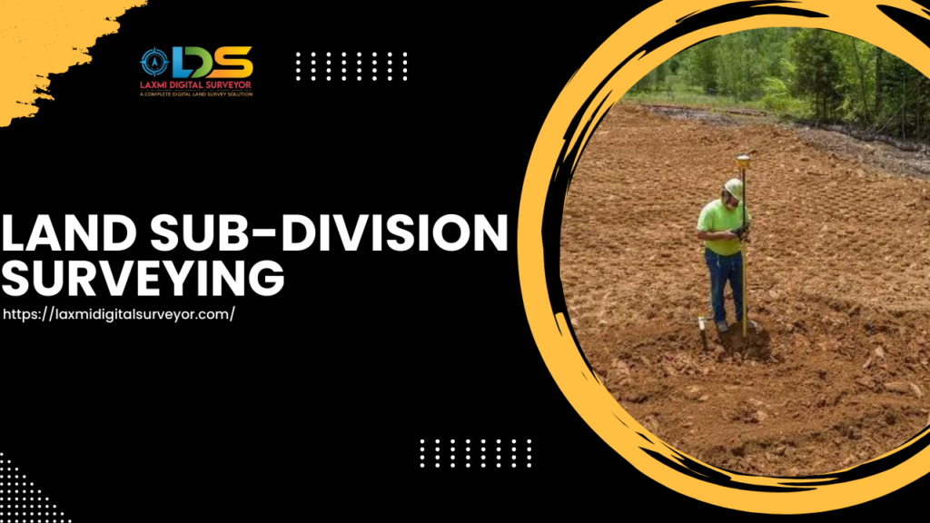
A Land Subdivision Survey in Hyderabad involves the process of dividing a parcel of land into smaller lots, blocks, or plots, typically for the purpose of developing housing, commercial, or industrial projects.
This process is essential for urban planning, ensuring that land use is optimized and that future development adheres to city regulations and guidelines.
Here is a detailed overview of the steps involved in a land subdivision survey in Hyderabad:
Steps in Land Subdivision Survey in Hyderabad
Initial Planning and Research For Land Subdivision Survey in Hyderabad
- Feasibility Study : Assess the land for its suitability for subdivision. This includes evaluating the topography, soil condition, access to infrastructure, and zoning laws.
- Legal Research : Check the land ownership records, existing land use regulations, zoning requirements, and any restrictions that might affect the subdivision.
Surveying the Land Subdivision Survey in Hyderabad
- Boundary Survey : Conduct a precise survey to establish the exact boundaries of the property. This is done using GPS and traditional surveying equipment.
- Topographic Survey: Map out the physical features of the land, including contours, trees, buildings, and other existing structures. This information is crucial for planning the subdivision layout.
Subdivision Design For Land Subdivision Survey in Hyderabad
- Layout Design : Create a preliminary layout of the subdivision, including lot sizes, street alignments, and open spaces. The design should comply with Hyderabad’s municipal regulations and planning standards.
- Infrastructure Planning : Plan for essential infrastructure like roads, drainage, water supply, electricity, and sewage systems.
Approval Process
- Submission to Authorities : Submit the subdivision plan to the Hyderabad Municipal Corporation (GHMC) or the relevant local authority for approval. This includes all survey data, maps, and infrastructure plans
- Public Hearing : In some cases, there might be a requirement for public hearings to address any concerns from neighboring property owners and other stakeholders.
Final Survey and Documentation
- Staking Out : Once the subdivision plan is approved, conduct a final survey to stake out the boundaries of the new lots and mark the locations of roads and other infrastructure.
- Plot Numbers and Titles : : Assign plot numbers to each new lot and update the land records with the relevant authorities to reflect the new subdivision.
Development and Construction
- Infrastructure Development : Begin the construction of roads, drainage systems, and other necessary infrastructure as per the approved plan.
- Plot Sales : : Once the infrastructure is in place, the subdivided plots can be sold to developers or individual buyers.
Key Considerations
- Regulatory Compliance : Ensure all aspects of the subdivision comply with the local building codes, zoning laws, and environmental regulations.
- Environmental Impact : Consider the environmental impact of the subdivision and incorporate sustainable practices wherever possible.
- Community Impact : Take into account the impact on the local community, including traffic paCommunity Impacttterns, public services, and overall neighborhood character.
Conclusion For Land Subdivision Survey in Hyderabad
Conducting a land subdivision survey in Hyderabad requires meticulous planning, accurate surveying, and adherence to local regulations.
It is a collaborative process involving surveyors, urban planners, engineers, and local government authorities.
The goal is to create a well-planned development that meets the needs of the community and supports the city’s growth sustainably and efficiently.
