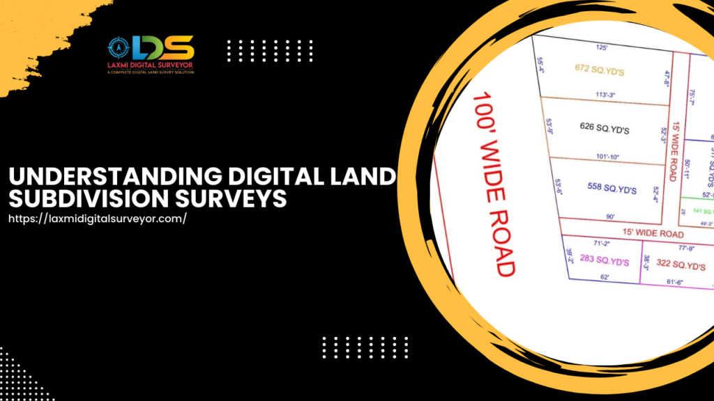
Understanding Digital Land Subdivision Surveys
Digital Land Subdivision Surveys In today’s fast-paced world, the need for precise and efficient land management has never been greater. Digital land subdivision surveys, also known as digital land partition surveys, have emerged as a vital tool in this context.
This innovative approach involves dividing land into multiple subdivisions based on specific requirements and accurately mapping each section’s position using digital technology
The Importance of Digital Land Subdivision Surveys
Traditional land surveying methods, while still in use, often fall short in terms of speed and precision. Digital land subdivision surveys address these issues by leveraging advanced technology to create detailed and accurate maps of land parcels.
These digital surveys are crucial for various purposes, including urban planning, real estate development, agricultural planning, and environmental management.
By utilizing digital tools, surveyors can produce maps that not only delineate boundaries but also provide valuable information about the terrain, infrastructure, and existing land use.
This comprehensive data is essential for making informed decisions about land development and management.
How Digital Land Subdivision Surveys Work
The process begins with an assessment of the land to be subdivided. This involves gathering data on the land’s current use, topography, and any existing structures or natural features.
Using advanced GPS technology and Geographic Information Systems (GIS), surveyors can capture precise measurements and create highly accurate maps.
Each subdivision is mapped out according to specific requirements, which may include zoning laws, development plans, or client specifications.
The digital maps produced provide a clear and detailed view of each parcel’s location, boundaries, and features, ensuring that all stakeholders have a thorough understanding of the land’s layout.
Laxmi Digital Surveyor: Your Trusted Partner
At Laxmi Digital Surveyor, we specialize in providing precise digital survey maps for each subdivided parcel of land. Our team of licensed digital land surveyors is dedicated to delivering high-quality services that meet the unique needs of our clients.
We understand that accurate land surveys are crucial for successful land development and management. That’s why we use the latest technology and adhere to the highest standards of professionalism in all our projects.
Whether you’re a real estate developer, urban planner, or private landowner, you can trust us to provide the detailed and reliable survey maps you need.
Contact Us
If you need a professional digital land subdivision survey, don’t hesitate to contact us. At Laxmi Digital Surveyor, we are committed to delivering exceptional service and precise results. Call us today at 8121963611, 8014380111, or 9014053482 to discuss your project and learn how we can assist you.
Invest in the future of your land development projects with Laxmi Digital Surveyor. Our expertise and cutting-edge technology will ensure that your land subdivision is executed with the utmost accuracy and efficiency
