Introduction
Village Mapping in Hyderbad is a crucial process for rural development, land management, and infrastructure planning. In Hyderabad, Laxmi Digital Surveyors has emerged as a leading service provider, offering state-of-the-art solutions to meet the diverse needs of their clients. This article delves into the various aspects of village map surveying, exploring the techniques, benefits, and challenges associated with it, alongside detailed insights into Laxmi Digital Surveyors’ offerings.
Table of ContentsThe Importance of Village Mapping in Hyderbad
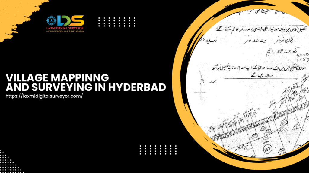
Village Mapping in Hyderbad Village map surveying plays a vital role in rural development, enabling accurate land records, aiding in conflict resolution, and supporting infrastructure projects. It is essential for effective land management, ensuring sustainable development and equitable resource distribution.
History of Village Map Surveying
Village map surveying has evolved from traditional methods involving manual measurements and sketching to sophisticated digital techniques. Historical surveys were often labor-intensive and time-consuming, but they laid the foundation for modern practices that leverage technology for precision and efficiency.
Surveying Techniques and Tools
Traditional Methods
Traditional surveying methods include manual measurements using chains, tapes, and compasses. While these methods are less common today, they provide foundational knowledge for modern techniques.
Modern Methods
Modern surveying techniques utilize advanced technology such as GPS, laser scanning, and drones. These methods offer higher accuracy, efficiency, and the ability to survey large areas quickly.
Steps in Conducting a Village Map Survey
Planning
The planning stage involves defining the survey objectives, selecting the appropriate methods and tools, and organizing the survey team.
Data Collection
Data collection involves gathering field data using various tools and techniques. This includes taking measurements, capturing images, and recording coordinates.
Data Analysis
Data analysis involves processing and interpreting the collected data to generate accurate maps and reports. Advanced software tools are used for data visualization and analysis.
Map Generation
Map generation is the final step, where the analyzed data is used to create detailed and accurate maps. These maps serve as critical tools for planning, development, and legal documentation.
Case Study: Successful Village Map Surveying Projects
Project 1
In Project 1, Laxmi Digital Surveyors conducted a comprehensive survey of a rural village, resulting in the creation of accurate land records. The project facilitated better land management and helped resolve longstanding property disputes.
Project 2
Project 2 involved the topographical survey of a hilly village area for infrastructure development. The detailed maps generated from the survey provided crucial data for planning and construction, ensuring minimal environmental impact.
Benefits of Village Surveying & Village Mapping in Hyderbad
Land Management
Accurate village maps aid in efficient land management, ensuring proper land use, and helping in the prevention of illegal encroachments.
Infrastructure Development
Village map surveying provides essential data for infrastructure projects such as roads, bridges, and public facilities, ensuring well-planned development.
Environmental Monitoring
Surveying helps monitor environmental changes, assess natural resources, and plan for sustainable development, crucial for maintaining ecological balance.
Challenges in Village Surveying & Village Mapping in Hyderbad
Technical Challenges
Technical challenges include the need for high precision, handling vast amounts of data, and integrating different data sources.
Logistical Challenges
Logistical challenges involve accessing remote or difficult terrains, ensuring the safety of the survey team, and coordinating with local authorities and communities.
Future Trends in Village Surveying & Village Mapping in Hyderbad
Technological Advancements
Emerging technologies such as AI, machine learning, and blockchain are set to revolutionize village map surveying, enhancing accuracy, efficiency, and data security.
Policy Changes
Policy changes promoting digital land records, open data access, and sustainable development practices will shape the future of village map surveying.
Frequently Asked Questions (FAQs)
What is the cost of village map surveying?
The cost varies depending on the size of the area, the complexity of the survey, and the technologies used. Contact Laxmi Digital Surveyors for a detailed quote.
How long does a survey take?
The duration of a survey depends on the area’s size, terrain complexity, and the survey’s objectives. Typically, it ranges from a few days to several weeks.
What technologies are used in modern surveying?
Modern surveying employs technologies such as GPS, drones, laser scanning, and GIS for high precision and efficiency.
Conclusion For Village Mapping in Hyderbad
Village map surveying is an essential process for effective rural development and land management. With the expertise of Laxmi Digital Surveyors in Hyderabad, clients can expect accurate, reliable, and comprehensive surveying services. As technology continues to evolve, the future of village map surveying promises greater precision, efficiency, and benefits for sustainable development.
